Trying to figure out where you’ll feel most at home in Mint Hill before you start touring? You’re not alone. With a mix of historic blocks, established subdivisions, and newer communities, the town offers several distinct lifestyles within a short drive of Charlotte. This quick orientation will help you narrow your search to the areas that fit your daily rhythm, commute, and wish list. Let’s dive in.
How Mint Hill is laid out
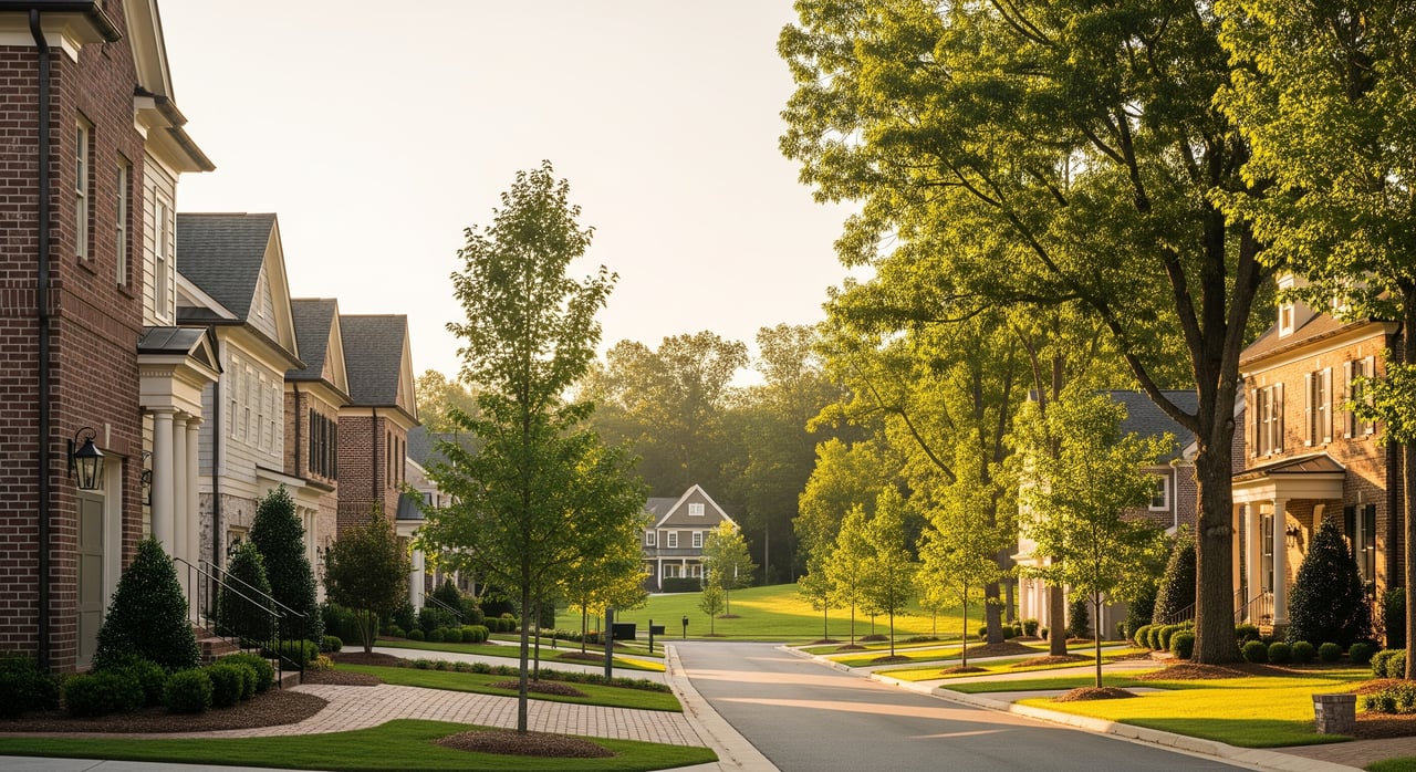
Mint Hill sits on the east and northeast side of Charlotte in Mecklenburg County. You’ll find an older small‑town core surrounded by established neighborhoods and newer subdivisions, with some semi‑rural pockets near the outer edges. Most residents drive for work and errands, and you can usually reach Uptown Charlotte in about 20 to 35 minutes off‑peak, or 30 to 50 minutes or more during rush hour.
The outer loop, I‑485, is the main connector to job centers around the metro. Local arterials like Matthews‑Mint Hill Road and Lawyers Road feed into I‑485 and nearby suburbs. Public transit is limited here compared with inner Charlotte. For current schedules and park‑and‑ride options, check the Charlotte Area Transit System’s resources on the CATS site.
Neighborhood zones at a glance
Below are the common zones locals use to describe Mint Hill. Boundaries are approximate and can vary by HOA documents and county parcel lines.
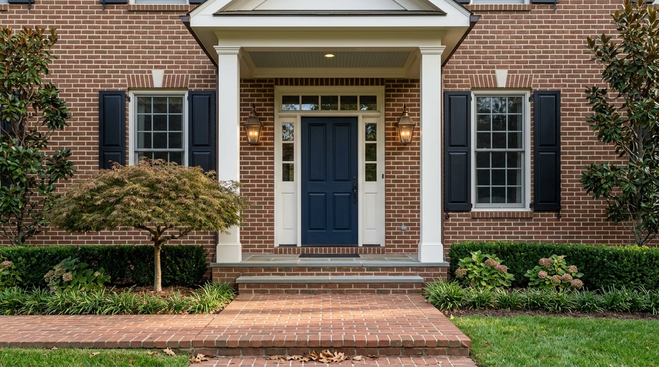
Central / Historic Mint Hill
A small‑town center with older homes near civic buildings, local shops, and town events.
- Snapshot
- Housing: Older single‑family homes, cottages, and some infill on smaller lots.
- Lifestyle fit: You value character, local errands, and community events within a short hop.
- Commute: Surface streets or I‑485 access depending on your route and time of day.
- Conveniences: Close to town services, small businesses, and community programming.
- Notes: HOA presence varies; utilities and any special assessments should be verified by address.
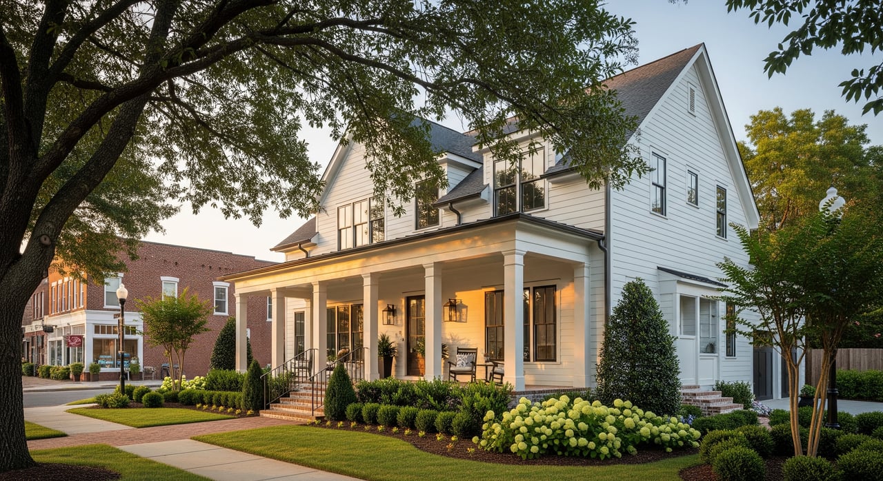
Matthews‑Mint Hill Road corridor (West)
Suburban neighborhoods with straightforward access toward Matthews and I‑485.
- Snapshot
- Housing: 1990s to 2010s subdivisions with predominantly single‑family homes.
- Lifestyle fit: You want suburban convenience and smoother regional commutes.
- Commute: Quick link to I‑485 for many Charlotte job centers.
- Conveniences: Grocery, retail, and services are clustered along the main corridor.
- Notes: Expect HOA rules and dues in many subdivisions; verify specifics per community.
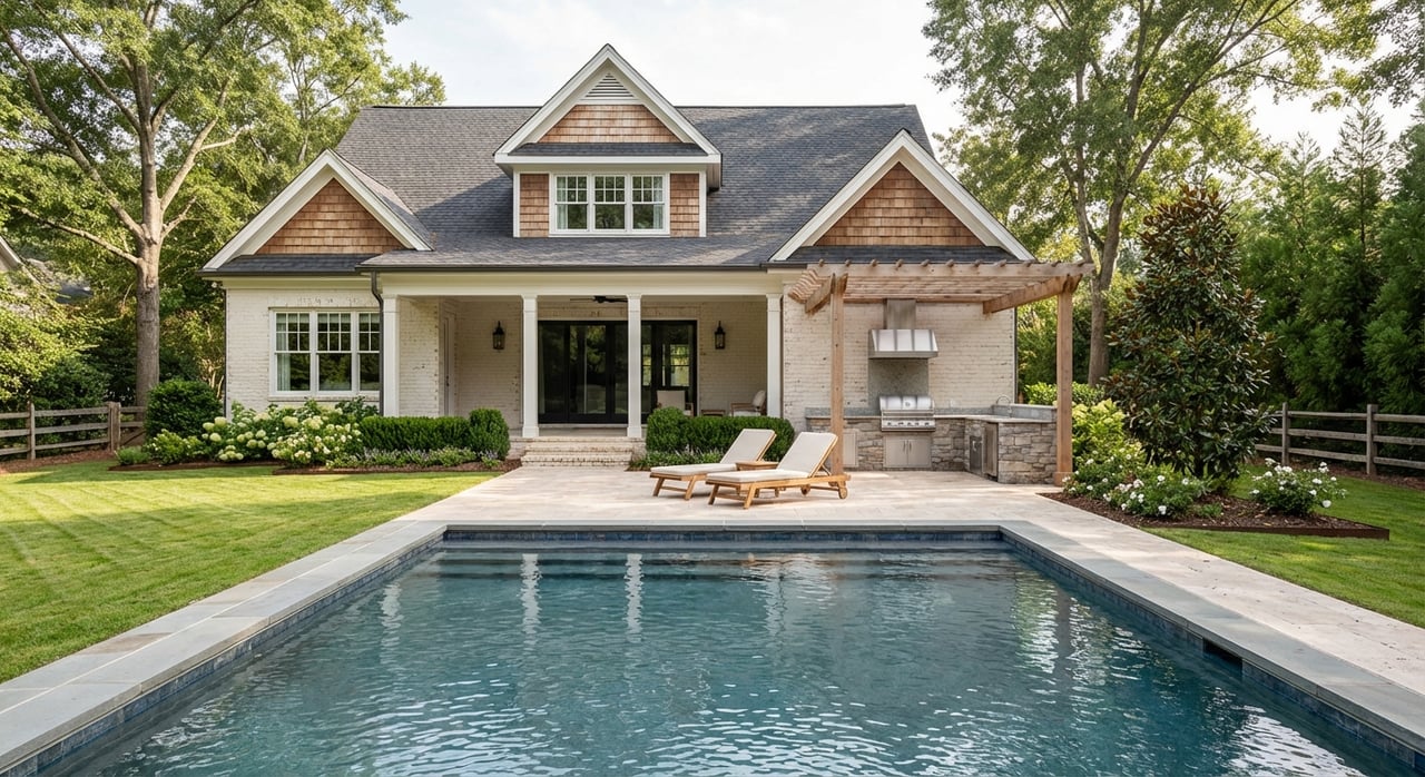
South / Southeast Mint Hill
Newer master‑planned communities and some exurban edges heading toward Union County.
- Snapshot
- Housing: 2000s to present construction, with some larger lot options.
- Lifestyle fit: You prefer newer floor plans, neighborhood amenities, and quieter streets.
- Commute: Longer to Uptown during peak; easier access to nearby suburban job nodes.
- Conveniences: Many communities include pools, playgrounds, or clubhouses.
- Notes: Often HOA‑governed; confirm utilities and any private well or septic.
North / Northeast Mint Hill
Semi‑rural feel with pockets of acreage and lower‑density residential near the town limits.
- Snapshot
- Housing: Custom homes, older farmhouses, and properties with more land.
- Lifestyle fit: You prioritize space, privacy, and a quieter setting.
- Commute: Typically car‑dependent with variable times to regional job centers.
- Conveniences: Fewer nearby commercial nodes; plan for longer errand drives.
- Notes: Some properties may use private well and septic; verify by address.
Retail and service nodes
Clusters of grocery, pharmacy, medical, and everyday services sit along main roads and near I‑485.
- Snapshot
- Role: These nodes reduce errand time and often shape buyer preferences by corridor.
- Fit: You value quick access to daily necessities and routine appointments.
- Notes: Noise and traffic levels can be higher near busy intersections—tradeoffs to weigh.
Commute and travel patterns
You’ll drive most places in Mint Hill. I‑485 is the primary regional connector, while surface roads like Matthews‑Mint Hill Road and Lawyers Road handle many local trips. Off‑peak drives to Uptown Charlotte are commonly 20 to 35 minutes. Peak times can stretch to 30 to 50 minutes or more depending on incidents and route choice. For broader corridor information and traffic projects, you can review NCDOT updates and traffic resources.
Public transit is limited compared with neighborhoods closer to Charlotte’s center. Light rail does not extend to Mint Hill at this time. Some commuters use park‑and‑ride or express bus options at nearby nodes. Check CATS for current offerings and schedules.
Everyday conveniences and community life
Mint Hill blends small‑town events with suburban ease. You’ll find municipal parks, seasonal programming, and community spaces that anchor local life. Many daily errands can be handled within town or in nearby Matthews and east Charlotte.
- Schools: Most of Mint Hill in Mecklenburg County is served by Charlotte‑Mecklenburg Schools. Assignments depend on the property address. Always verify with the CMS boundary lookup before you make decisions.
- Shopping and services: Grocery, pharmacy, and medical clinics are available within town and along major corridors. Larger retail centers sit a short drive away in Matthews and Charlotte.
- Parks and programs: The town operates parks and community events. Schedules and amenities change, so confirm details on official town channels.
What to check before you fall in love
Every address is different. Build these checks into your short list so you compare apples to apples.
- Commute reality: Run live routing at your usual travel times. Try multiple routes via I‑485 and surface roads.
- HOA and community rules: Review dues, amenities, architectural guidelines, and any transfer fees.
- Utilities and systems: Confirm whether the home is on public water and sewer or private well and septic.
- Flood and insurance: Review official maps through the FEMA Flood Map Service Center to understand any floodplain considerations.
- Schools: Verify school assignments with Charlotte‑Mecklenburg Schools by specific address.
- Property data: Confirm lot lines, setbacks, and tax info with county records and your attorney.
- Market context: Ask for up‑to‑date pricing and inventory in your target zone so your offer strategy fits current conditions.
For wider context on commute patterns and growth, state resources from the North Carolina Department of Transportation can be helpful. For demographic and commute statistics, you can explore the U.S. Census Bureau’s American Community Survey. Transit schedules and park‑and‑ride options are available through the CATS website.
How I can help you compare Mint Hill areas
If you’re weighing a historic street near downtown against a newer subdivision or an acreage property, I’ll help you test fit against your daily life. I focus on micro‑market guidance, real‑time commute checks, and clear comparisons of HOAs, utilities, and carrying costs. You’ll get a short list of homes that match your lifestyle and a plan to win when the right one comes on the market.
Ready to narrow your search or list your home with elevated presentation? Reach out to Andy Thomas for a friendly, local conversation.
FAQs
How long is the commute from Mint Hill to Uptown Charlotte?
- Off‑peak drives are commonly about 20 to 35 minutes, while peak periods can run 30 to 50 minutes or more depending on incidents and the route you choose.
Which Mint Hill areas have the newest homes?
- The South and Southeast zones typically feature newer master‑planned communities with modern floor plans, while other areas include a mix of established neighborhoods and infill.
Does public transit serve Mint Hill directly?
- Service is limited compared with inner Charlotte, and light rail does not extend to Mint Hill; some residents use nearby park‑and‑ride or express bus options via CATS.
How do I verify school assignments in Mint Hill?
- Use the Charlotte‑Mecklenburg Schools boundary lookup by specific property address, since assignments vary and can change over time.
Are floodplains or private wells common in Mint Hill?
- They can be present depending on the address; check the FEMA Flood Map Service Center for flood risk and verify water and sewer or private well and septic during due diligence.
What are the main roads I’ll use for commuting?
- Most residents rely on I‑485 for regional access and surface roads like Matthews‑Mint Hill Road and Lawyers Road for local connections.
Resources mentioned:
- Review transit options on the Charlotte Area Transit System site: CATS routes and resources
- Check flood maps: FEMA Flood Map Service Center
- Explore state transportation info: North Carolina Department of Transportation
- Browse demographic and commute statistics: U.S. Census Bureau – American Community Survey